


The Union Pacific was the eastern part of the Transcontinental Railroad, the 1,907 mile long road built between 1863 and
1869 from Council Bluffs, Iowa from the western shore of the Missouri River west across Nebraska, Wyoming, Utah, Nevada, and
California. A principal reason was to connect the booming lands of Oregon and California, to further open the US interior to
settlers, to maintain the US position on the Pacific, and to speed the overland route to the west over the Great American Prairie
Desert, considered at that time unfit for habitation. The actual start of the new Transcontinental Railroad was in Omaha,
Nebraska. There was no existing technology (steel construction was needed) to bridge this mighty river, so all people and goods
were ferried across it to connect the tracks on either shore. All the UP railroad supplies were also ferried. Those for the eastward
construction came around the Straits of Magellan to San Francisco, then east to the end of the Central Pacific. This was an
enormous construction project, and most work was done by hand and with horse drawn wagons. There were few machines with
steam engines in existence. Blasting was done with black powder, as there was no dynamite, and the early trials with
nitroglycerine proved too deadly. It was the equivalent in the 1860’s of the Panama Canal (1904-1914) or the Apollo Moon
program (Apollo 11, July, 1969).


Early explorations to find a route. Beginning as early at 1832 there was much controversy as to the route. Theodore Judah,
an early explorer and activist for a northern route lobbied for the “obvious best” route starting on the western shore of Missouri
River to connect to the existing network of rails on the eastern shore to the eastern US and to build to the Platte River Valley and
follow it to Wyoming and over a high, but broad “pass” in south eastern Wyoming over the Rocky Mountains. The original name
was Evans Pass after the Army surveyor who found it. South Pass north near Casper, Wyoming, the preferred emigrant trail for
the Oregon, Mormon, and California Trails, had a lower elevation, but was more steep in places, and followed more rugged
canyons with sharper turns, and added 150 miles to the route, and it was about 150 miles farther from Denver. Building east
from Oakland to Sacramento would be the Western Pacific Railroad Company between Oakland and Sacramento, California
(132 mi), the Central Pacific Railroad Company of California from Sacramento to Promontory Summit, Utah Territory (U.T.)
(690 mi), and the Union Pacific Railroad Company westward to Promontory Summit from the road's statutory Eastern terminus at
Council Bluffs on the eastern shore of the Missouri River opposite Omaha, Nebraska (1,085 mi).


Authorization of construction was made by the Pacific Railroad Acts of 1862 and the more lucrative act of 1864, during the
American Civil War when southern Democratic opposition in the Congress to the central route near the 42nd parallel was absent.
The southern states naturally wanted a more southern route before the war. Other railroads were also authorized under much
the same terms. The Union Pacific Company was incorporated by act of Congress on July 1, 1862, under the Pacific Railroad Act
of 1862, which provided for the construction of railroads from the Missouri River to the Pacific, and significantly included the
requirement to build telegraph lines along the way to supplement the first rapid coast to coast communication system, the 1861
Transcontinental Telegraph just completed. The Central Pacific Rail Road of California" was incorporated in California 13 months
before the UP. On October 8, 1864, “Rail Road” was changed to "Railroad" after the 1864 Pacific Railway Act amendment
passed that summer.


Funding. The two newly incorporated railroad companies, the Union Pacific Railroad and Central Pacific Railroad, were chosen
by Congress to build and operate the "Pacific Railroad" from the Missouri River at Council Bluffs to the San Francisco Bay paid
for by issuance of 30-year 6% U.S. government bonds. Congress, in the middle of a war, set up an ambiguous Union Pacific
corporate structure that provided only "spotty" oversight and corporate leadership. These ambiguities allowed the Union Pacific
Company to be manipulated by some for extra profits as it was being built. The government backed bonds were to be issued at
$16,000/mile for track laid at level grade, $32,000/mile for track laid in foothills and $48,000/mile for track laid in mountains. The
two railroad companies sold similar amounts of company-backed bonds and stock. In addition the railroads were granted 400-
foot right-of-ways plus ten square miles of land for every mile of track built. The railroads were allowed to sell this land on any
terms for three years, but after that it was to be made available for the prevailing government price for homesteads of $1.25/acre.
If the 30 year bonds were not repaid all remaining railroad property was to revert to the government for disposal, but all bonds
were repaid on time. Besides railroads and spreading the telegraph system west, the Homestead Act was a social effect of the
Transcontinental Railroad. The Act was passed to promote the expansion west once the railroad was in place to serve new
emigrants.


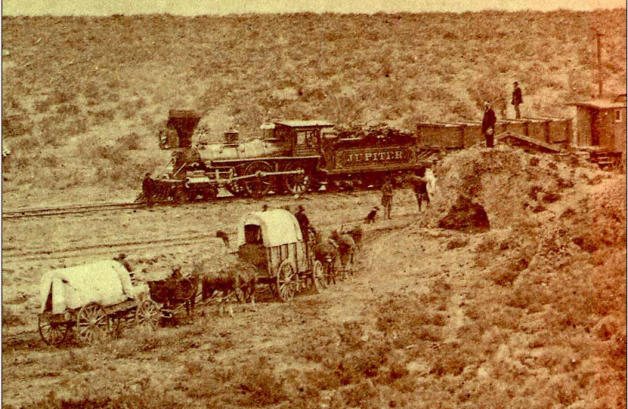
The men of the railroad. Most of the engineers and surveyors who built the railroads were engineering college or US Military
Academy trained Union Army veterans who kept the trains running during the Civil War—either northern railroads or captured
southern ones. General John S. Casement was the first Chief Engineer of the UP, but was succeeded by Major General
Grenville M. Dodge in December, 1866 after about 240 miles were built through the new railroad town of North Platte.
Casement continued as chief construction boss and his brother, Daniel, continued as financial officer. In 1864, an English
surveyor and engineer named James Evans working for the Army discovered a broad natural pass at about 8,200 feet elevation
through the first range of the Rockies, the Laramie Mountains. General Dodge in 1865 found what he called the “gangplank,” a
narrow neck of land, a 15 mile long ridge, broad and fairly straight without much erosion that crossed the mountains extending
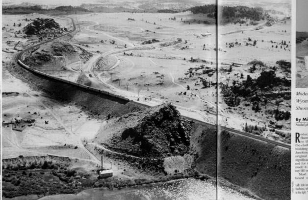
up and west from Evans Pass. Dodge named it after his commanding officer during the war, General Sherman, as Sherman Hill.
At 8,247 feet (2,514 m), Evans/Sherman's pass is the highest point reached on the transcontinental railroad and was for
decades the highest point on any railroad in the world. That point is marked by the Ames Monument to the Ames Brothers who
were instrumental in the early history of the UP and the Transcontinental Railroad.


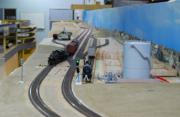
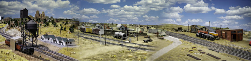
The towns of the railroads. After descending down the steep western side of Sherman Hill the UP built another railroad town,
Laramie. After Sherman Hill the UP was back down on “level” ground. The average grade on the 220 miles from Omaha to
Cheyenne was only about 15 feet/mile. From Laramie to Evanston in west Wyoming Territory was a large “bowl” and nearly level.
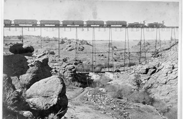
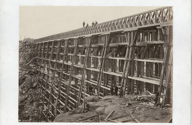
The most significant construction problem was crossing the tiny Dale Creek in its deep canyon. First there was a wood bridge,
then an iron one, both about 650 feet long and 125 feet high, and had mile long cuts through granite hills on each approach. In
1953 the creek was filled with the world’s largest land fill at that time, Dale Fill. The original bridge and the iron one were a huge
undertaking for 1867-8 and shortly thereafter, especially for crossing a creek that could be stepped over. The towns out on the
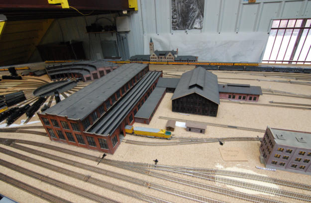
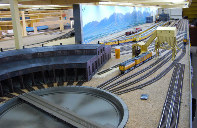
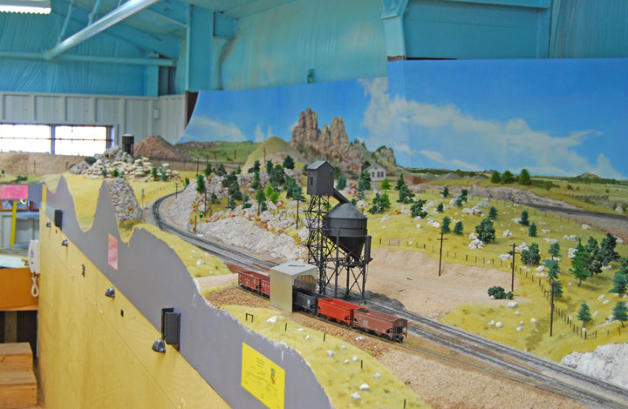
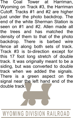
prairie that had maintenance facilities for the locomotives and trains were, Rawlins, Rock Springs, Green River and Evanston. By
the time the rails reached Evanston the grade had started to climb up the east side of the Wasatch Mountains, then past the
summit near Wasatch, Utah the grade was steep down through Echo Canyon and after a sharp 90 degree turn at Echo, Utah on
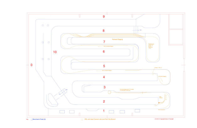
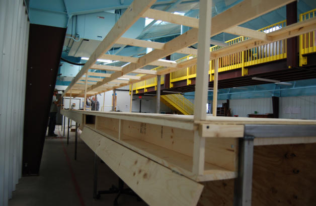
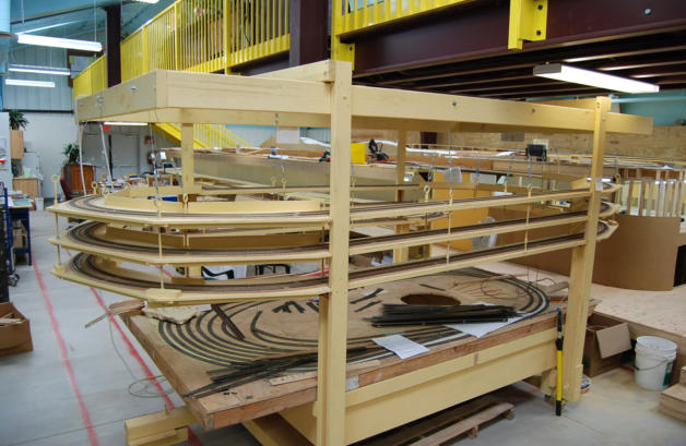
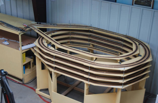
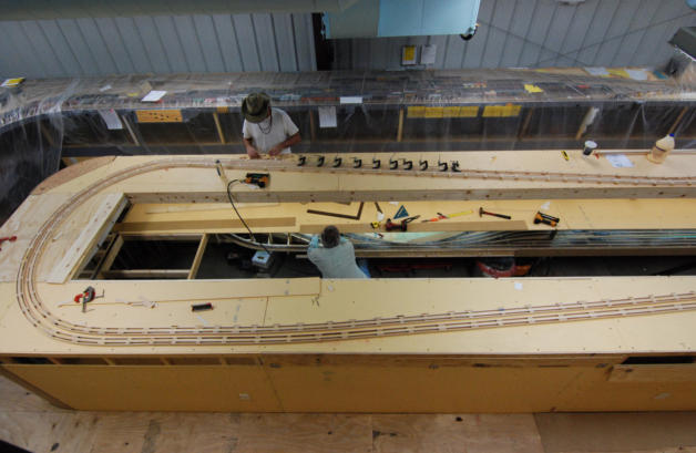
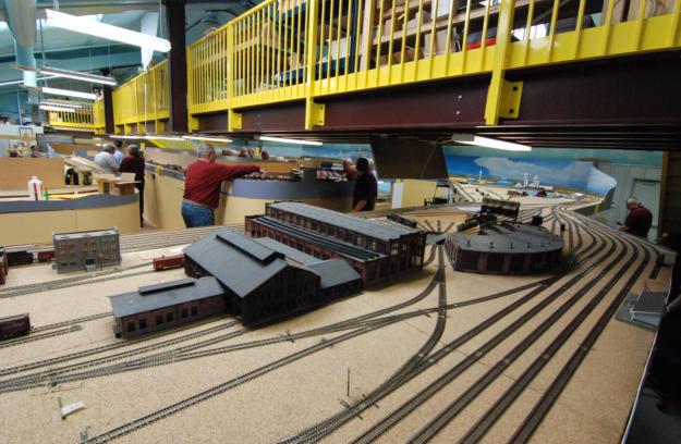
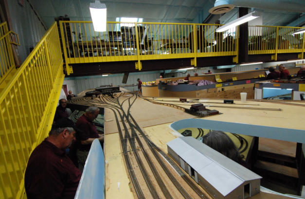
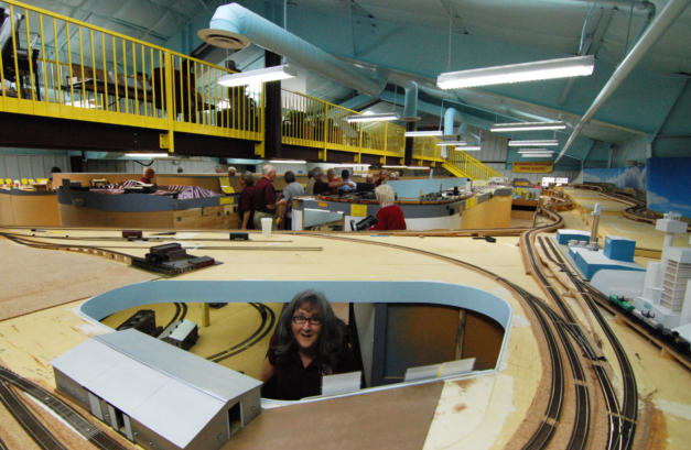
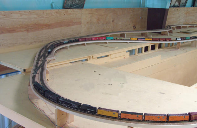
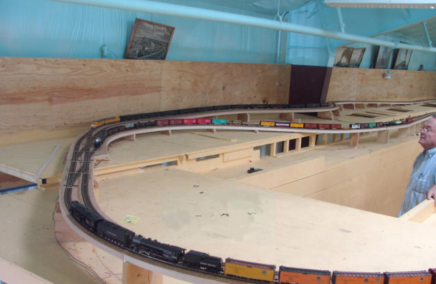
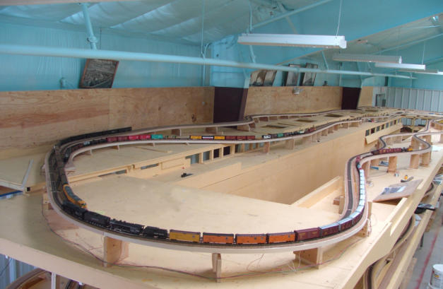
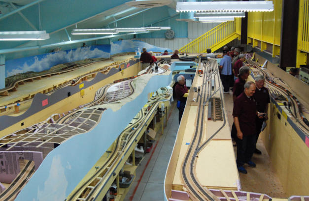
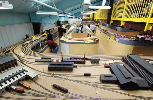
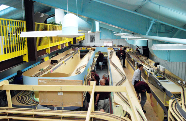
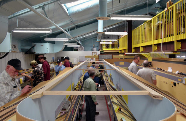
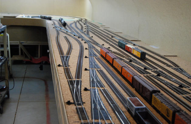
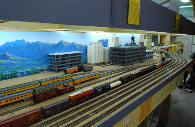
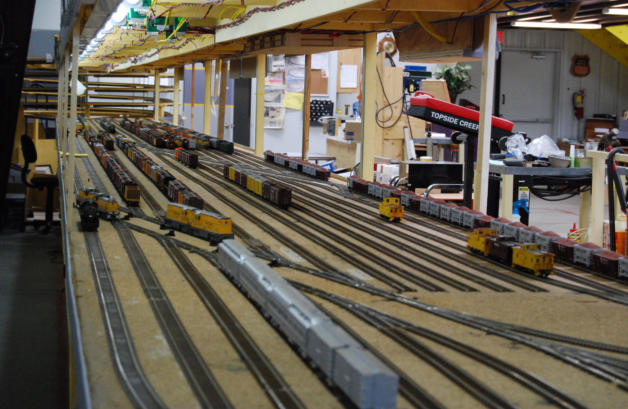
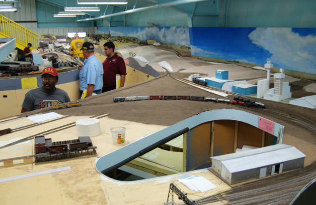
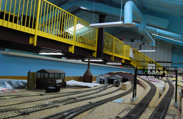
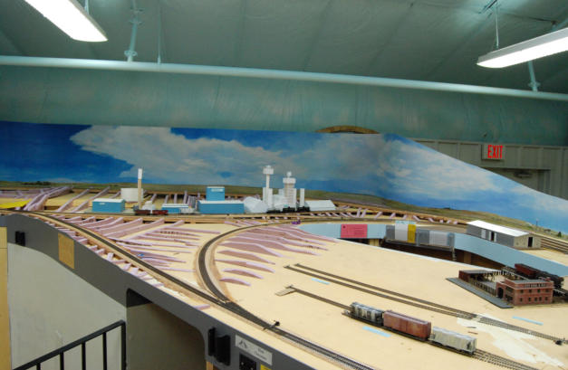
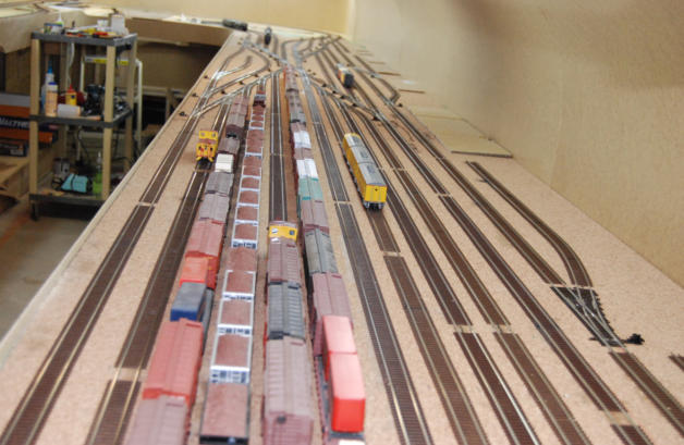
down the Weber River Canyon into Ogden. The layout models all these “Hell on Wheels” towns and many more of the minor
stops.


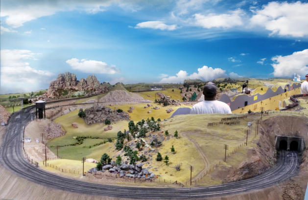
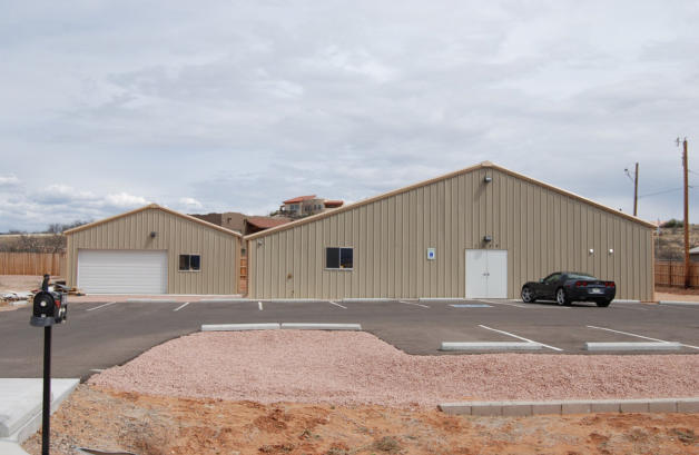
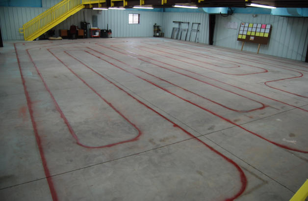
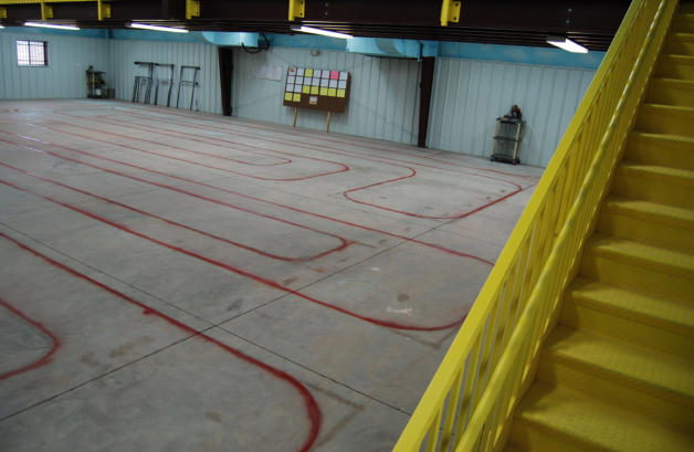
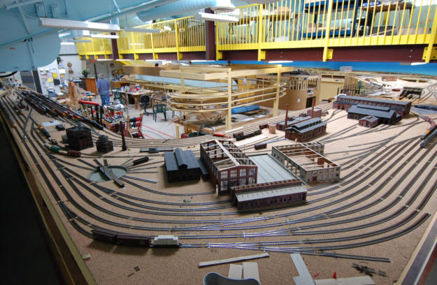
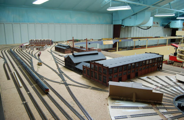
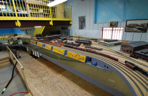
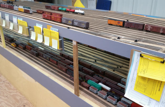
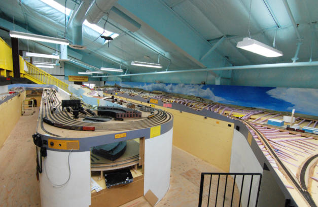
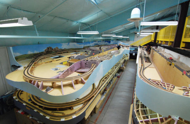
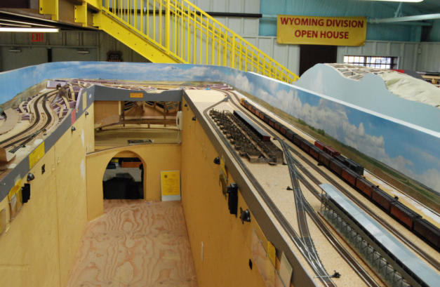
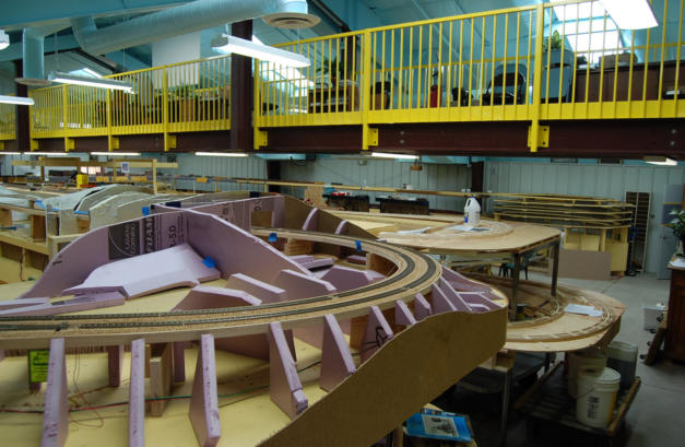
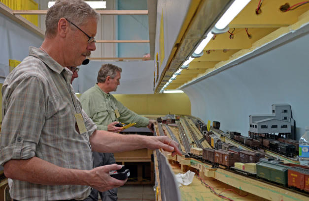
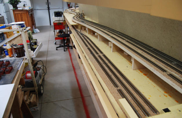
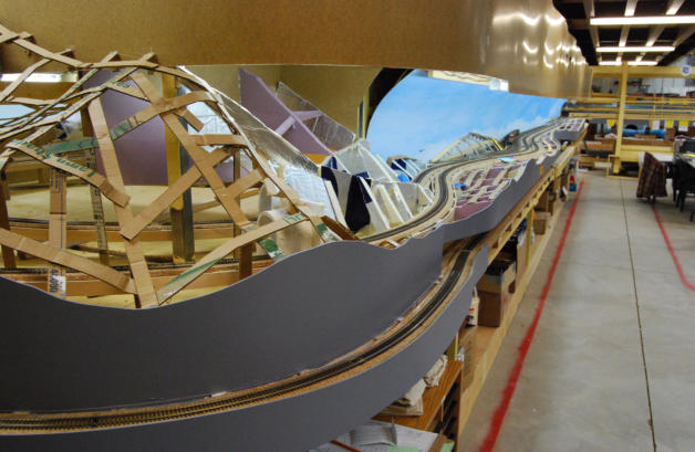
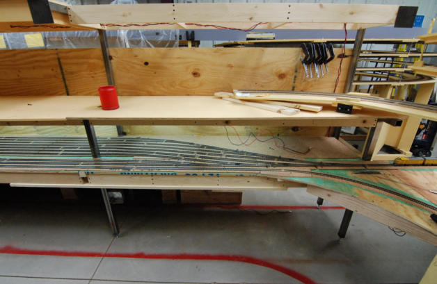
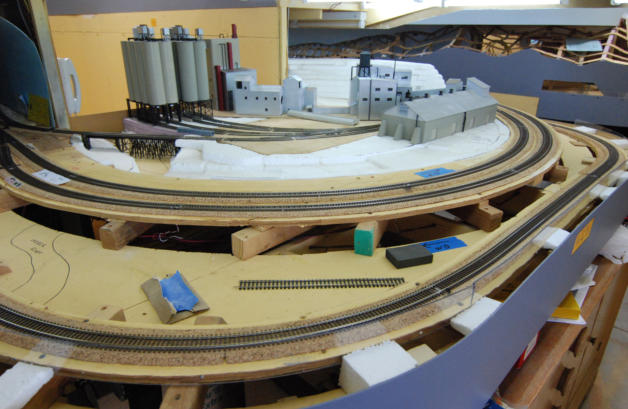
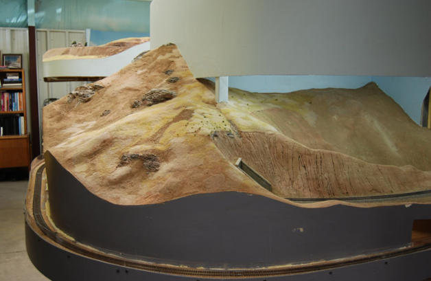
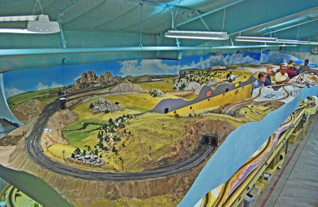
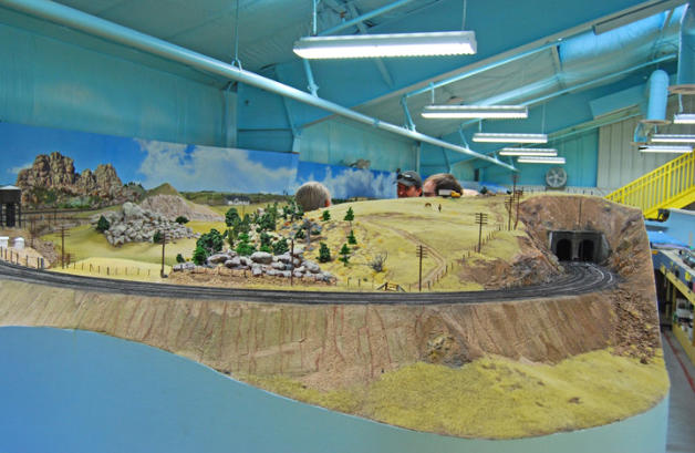
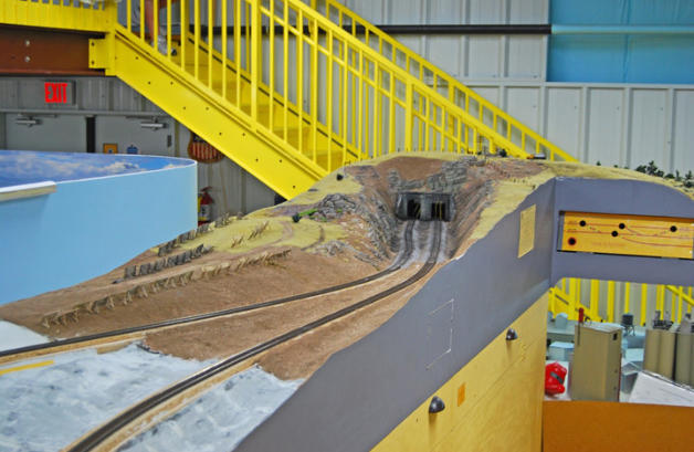
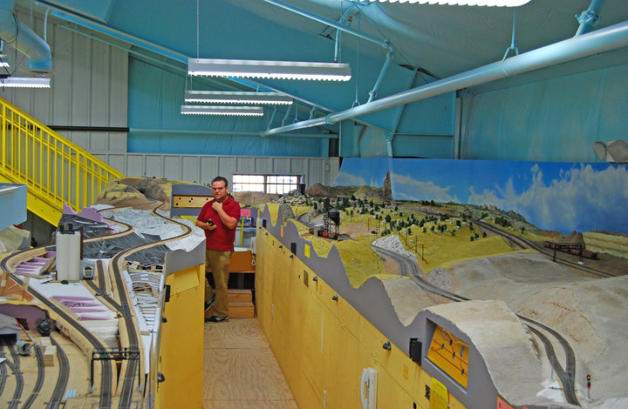
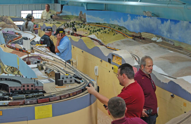
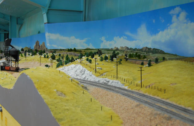
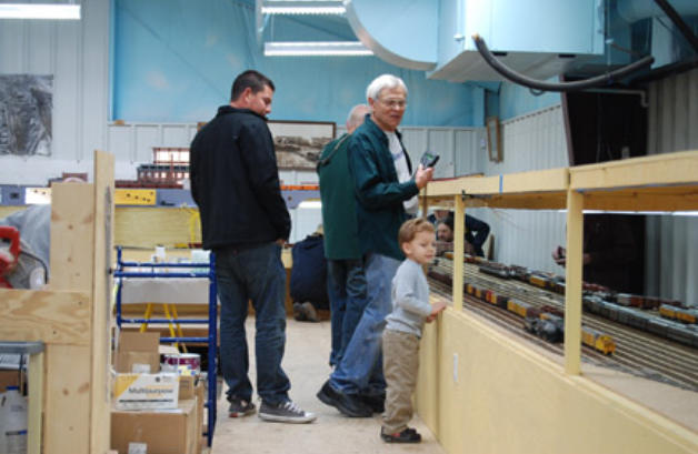
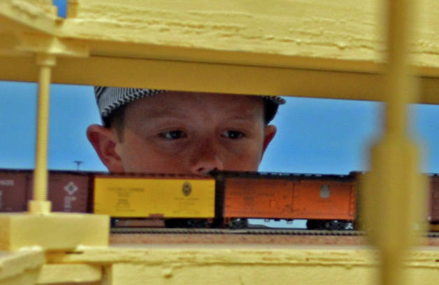
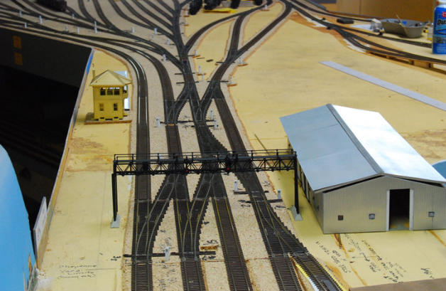
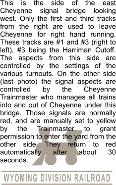
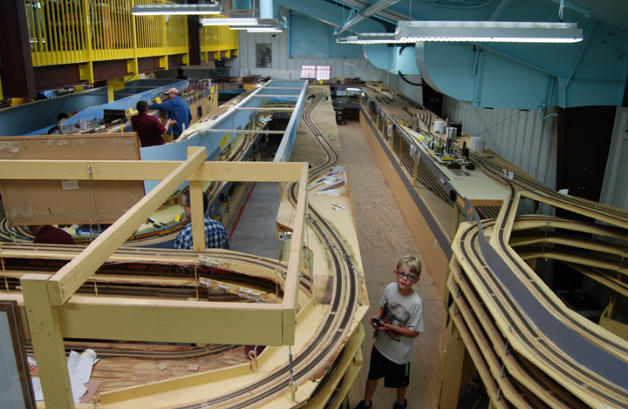
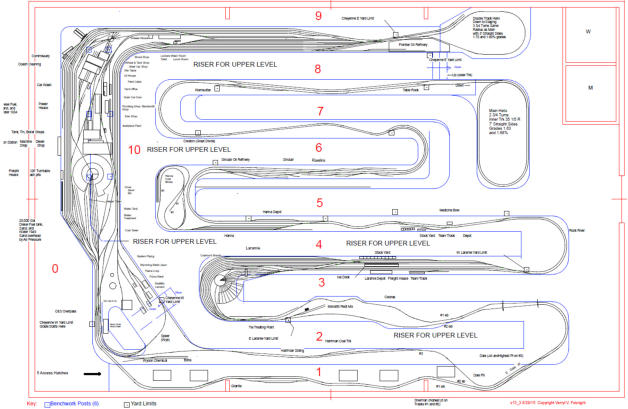
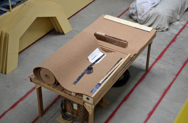
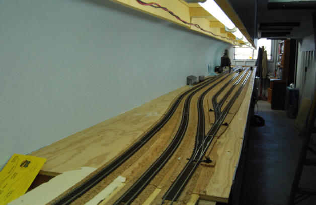
Scenery on the layout. After holding operating sessions for 2 or 3 years, and fixing all the bugs to the DCC wiring, and after
some minor changes and additions to the track plan, we added ABS signals (see next group of photos). Then after another few
months of making sure that wiring was working properly, we were able at last to tackle scenery. These photos show the start of
that work.
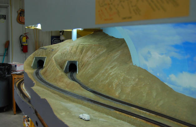


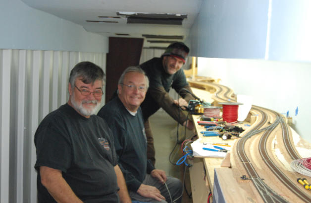


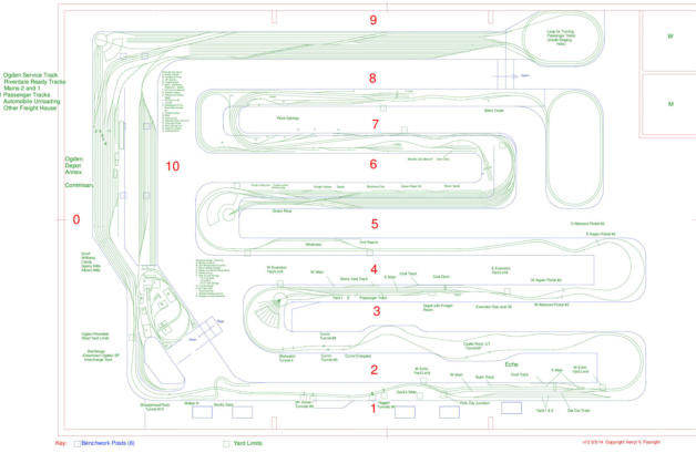
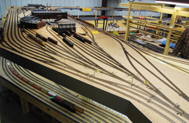
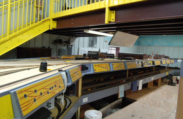
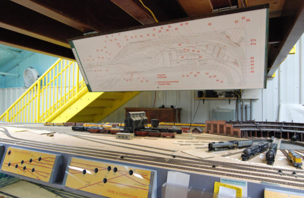
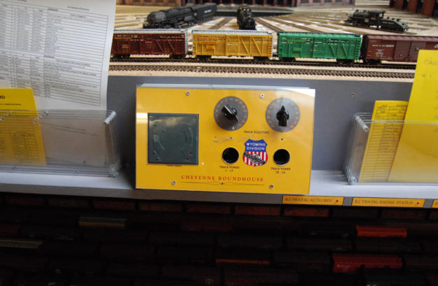
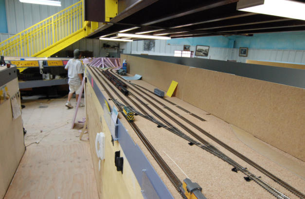
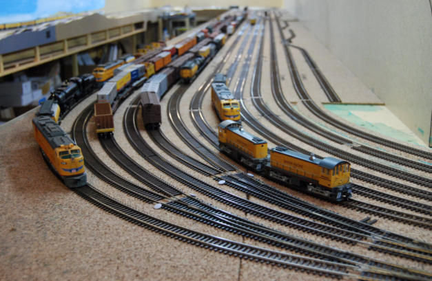
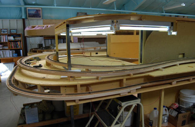
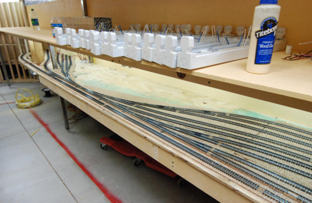
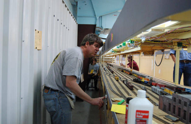
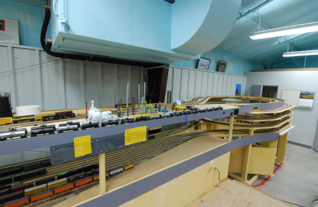
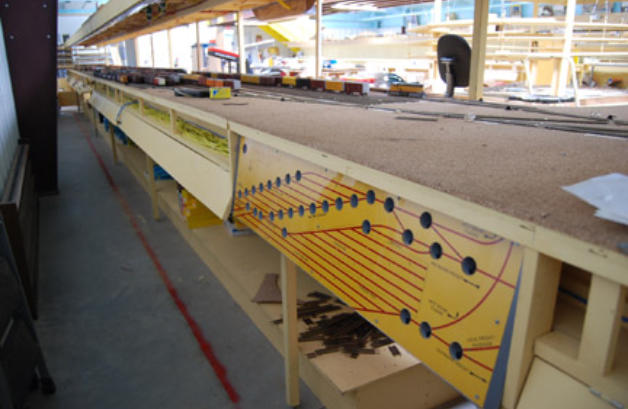
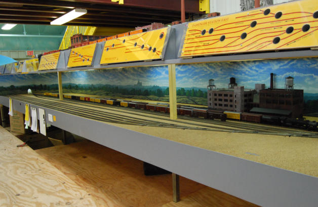
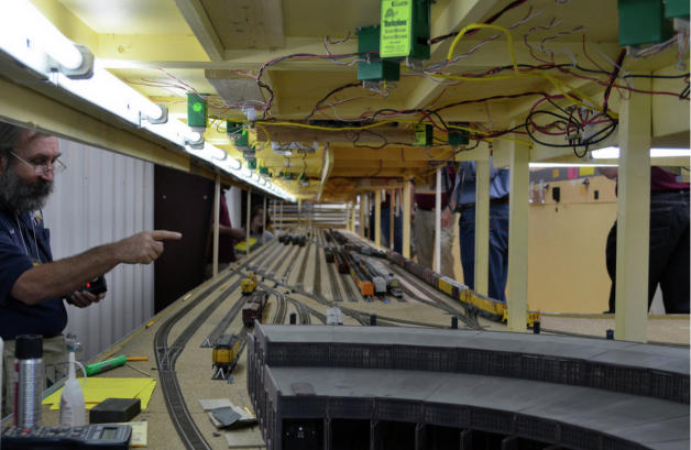
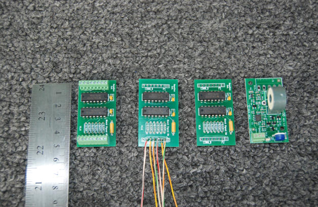
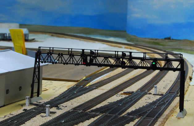
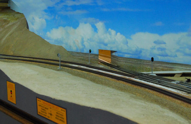
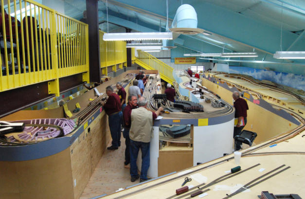
ABS Signals on the layout. As the final wiring job on the layout, we designed and installed Automatic Block Signals (ABS) for
the entire layout that will have scenery. The layout is double track, so operations are governed by Rule 251D for double track
running with written track warrants. To streamline operations, the written track warrants are given as a list of destinations on a
Train Order Sheet for each train. There are two separate articles on the Article tab pages that give detailed descriptions of both
the signals and of the operating system.